
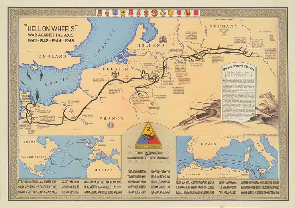
2nd Armored Division Campaign Map 1945 Version
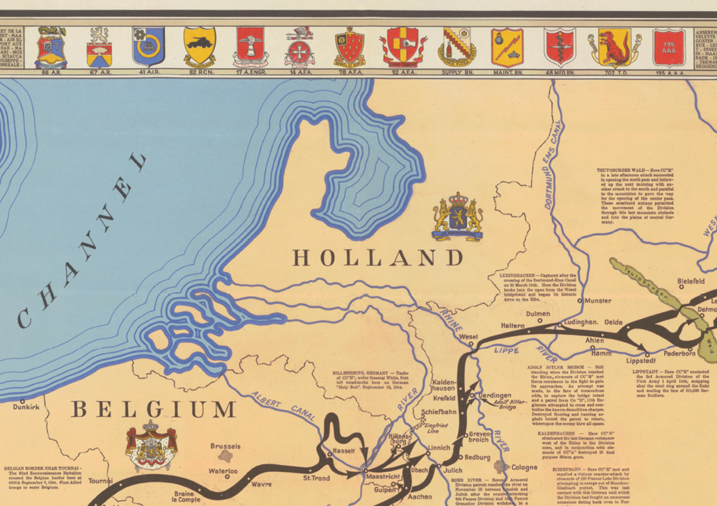
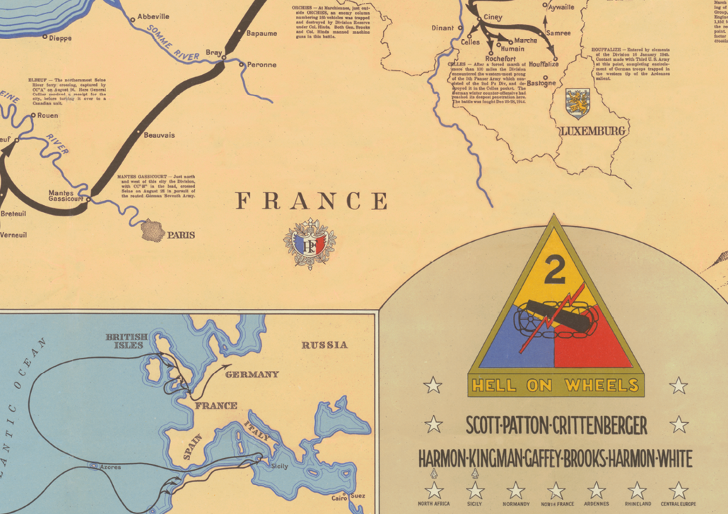
"Hell of Wheels" is a beautiful World War II route map of the 2nd Armored Division’s advance from North Africa to Sicily and across Europe from Normandy to Germany. The print comprises three maps: the largest map shows the 2nd Armored Division's route throughout Europe and identifies the location of important activities. At the bottom, two smaller maps follow the division's route from the U.S. across the Atlantic Ocean to North Africa to Sicily and finally through Europe. Printed text inset in the large map describes the history of the division.
The 2nd Armored first saw action in North Africa in November 1942. After participating in the invasion of Sicily in the summer of 1943, the division was sent to England to train for the invasion of Normandy, France. After landing in Normandy on June 9, 1944, the division fought in the Northern France, Rhineland, Ardennes-Alsace and Central Europe campaigns.
This reproduction print was crafted from an original map created in late 1945. The original was scanned on a large-format, flatbed, high-resolution scanner and precisely restored by hand. The map is printed on professional-grade matte paper using vivid, archival inks. It is carefully hand-rolled in tissue paper or plastic sleeves and mailed in heavy-duty tubes or boxes.
We also have a second map of the 2nd Armored that was created some months before this chart. That map provides an attractive, alternative campaign map.