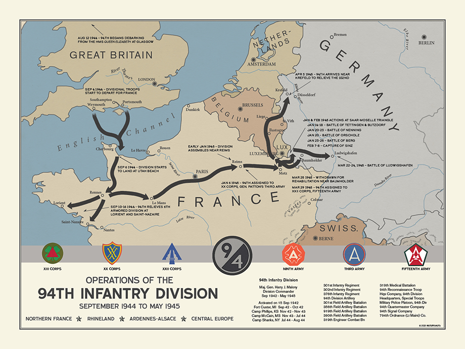
94th Infantry Division Campaign Map
From the Brittany pockets to the Saar-Moselle Triangle, Saarburg, Ludwigshafen, and the Ruhr, the 94th participated in many different fronts.
Size:
24 x 18
94th Infantry Division Campaign Map
If you have any questions, you are always welcome to contact us. We'll get back to you as soon as possible, within 24 hours on weekdays.
-
Shipping Information
Use this text to answer questions in as much detail as possible for your customers.
-
Customer Support
Use this text to answer questions in as much detail as possible for your customers.
-
FAQ’s
Use this text to answer questions in as much detail as possible for your customers.
-
Contact Us
Use this text to answer questions in as much detail as possible for your customers.
94th Infantry Division Campaign Map
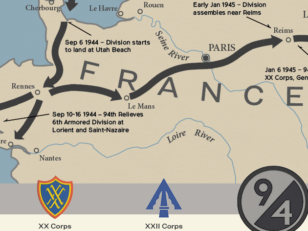
This campaign map shows the route of the 94th Infantry Division throughout Europe during World War II. The division fought in the Northern France, Rhineland, Ardennes-Alsace, and Central Europe campaigns.
There the campaign changed sharply. Facing strongly fortified West Wall switch positions, the division fought around Tettingen, Butzdorf, Nenning, Berg, Sinz, and the Orscholz area. After heavy losses and repeated attacks, it broke through the Saar-Moselle Triangle and established bridgeheads across the Saar at Ockfen and Serrig-Taben. Those crossings opened the route toward Saarburg and helped protect armored movement toward Trier.
PAPER & PRINTING
Printed on archival-grade, acid-free matte fine-art paper with a natural surface for crisp detail, accurate color, and lasting display quality.