
2nd Infantry Division Campaign Map
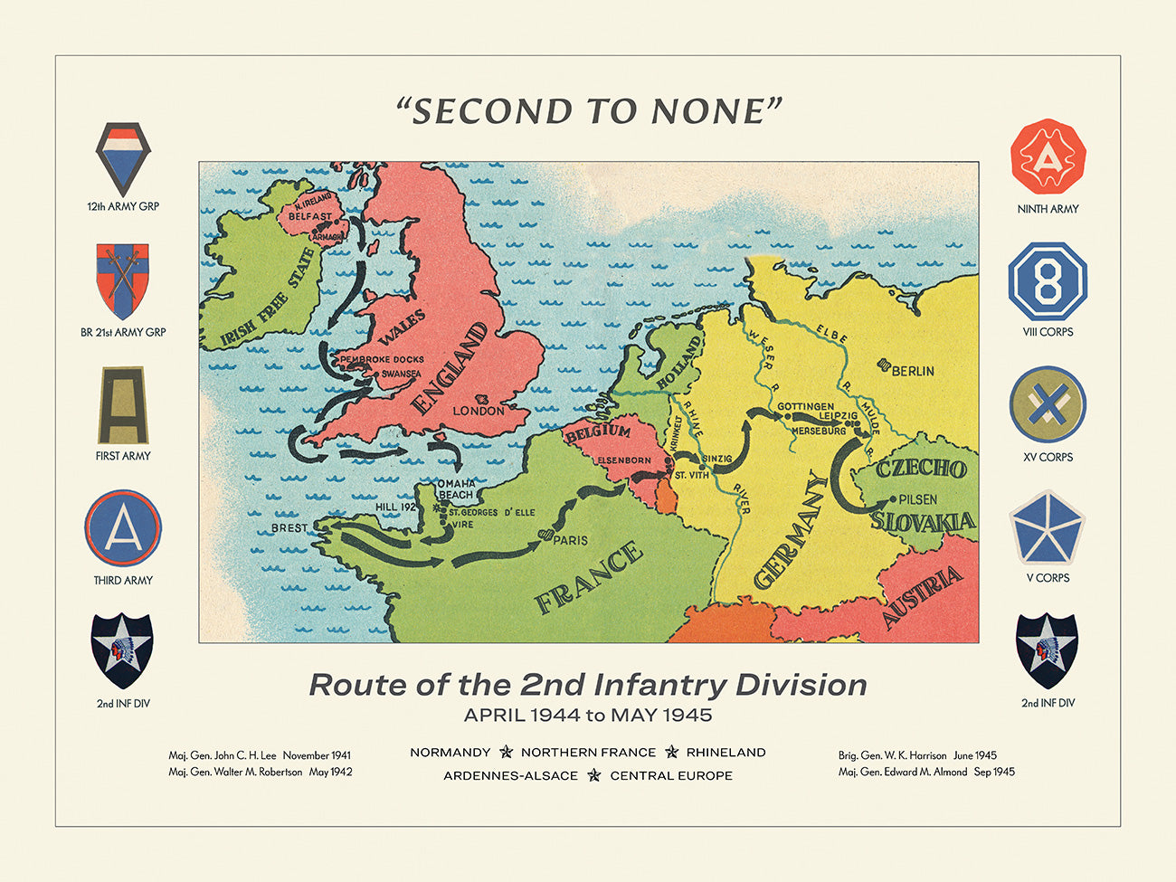
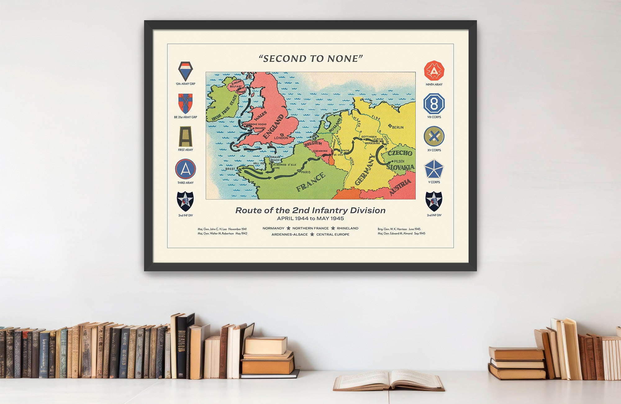
Chart the “Indianhead” Division’s route from Omaha Beach and Hill 192 to Brest, Elsenborn Ridge, the Rhine, Leipzig, and Pilsen.
Size:
24 x 18
2nd Infantry Division Campaign Map
If you have any questions, you are always welcome to contact us. We'll get back to you as soon as possible, within 24 hours on weekdays.
-
Shipping Information
Use this text to answer questions in as much detail as possible for your customers.
-
Customer Support
Use this text to answer questions in as much detail as possible for your customers.
-
FAQ’s
Use this text to answer questions in as much detail as possible for your customers.
-
Contact Us
Use this text to answer questions in as much detail as possible for your customers.
2nd Infantry Division Campaign Map
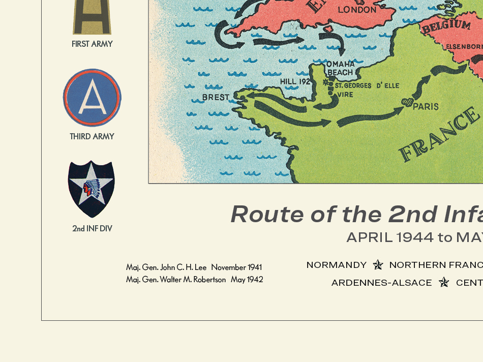
The 2nd Infantry Division’s World War II route began on Omaha Beach and soon centered on one of the key strongpoints blocking the road to Saint-Lô. After landing in Normandy on June 7, 1944, the “Indianhead” Division moved inland through the Cerisy Forest and across the Elle and Aure Rivers before attacking Hill 192. The long fight for the hill opened the Saint-Lô highway and helped prepare the ground for the Allied breakout.
After Normandy, the division turned west into Brittany and became heavily involved in the siege of Brest. Its infantry fought through the city’s outer defenses and helped force the surrender of the fortress port in September 1944. From there, the division shifted east toward the German frontier.
The Ardennes offensive gave the route its defining defensive episode. At Elsenborn Ridge and the Monschau sector, the 2nd Infantry Division helped hold the northern shoulder of the German attack, denying key roads and blunting the enemy’s advance. In 1945, the division crossed the Roer and Rhine, advanced through central Germany, took Leipzig, and reached the Mulde before moving south toward the German-Czech border. The map shows the Indianhead Division’s campaign as a movement from Normandy’s hedgerows to fortress fighting, winter defense, and the final advance toward Czechoslovakia.
PAPER & PRINTING
Printed on archival-grade, acid-free matte fine-art paper with a natural surface for crisp detail, accurate color, and lasting display quality.