
6th Armored Division Campaign Map
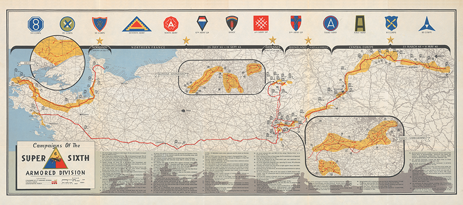
Follow the “Super Sixth” from Normandy and Brittany across France to the Saar, Bastogne, Rhine, Leipzig, and the Mulde River.
Size:
36 x 16
6th Armored Division Campaign Map
If you have any questions, you are always welcome to contact us. We'll get back to you as soon as possible, within 24 hours on weekdays.
-
Shipping Information
Use this text to answer questions in as much detail as possible for your customers.
-
Customer Support
Use this text to answer questions in as much detail as possible for your customers.
-
FAQ’s
Use this text to answer questions in as much detail as possible for your customers.
-
Contact Us
Use this text to answer questions in as much detail as possible for your customers.
6th Armored Division Campaign Map
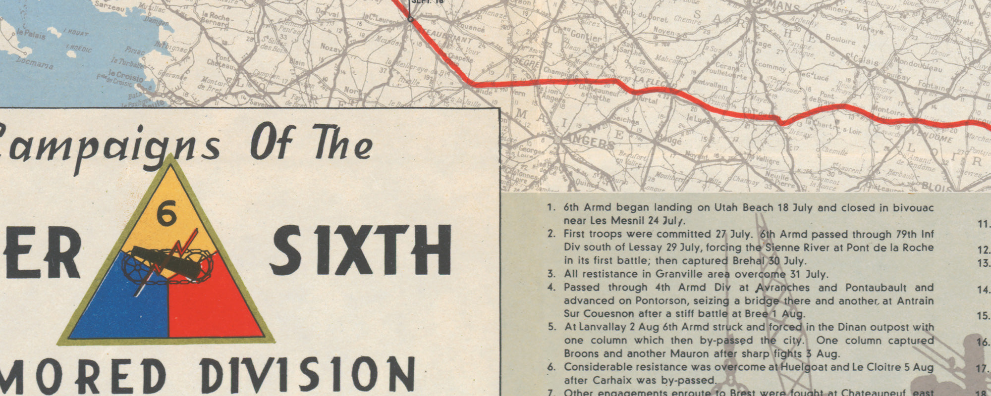
This map follows the World War II route of the 6th Armored Division, the “Super Sixth,” from Normandy through France and into central Germany. The division landed on Utah Beach in July 1944 and soon joined the offensive in the Cotentin Peninsula, driving through Avranches before turning west into Brittany. There, its combat commands helped isolate Brest and clear German resistance from the peninsula’s ports and strongpoints.
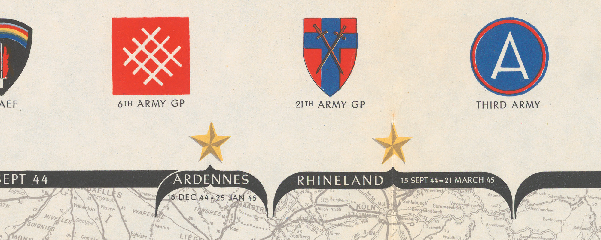
After the Brittany campaign, the 6th Armored shifted east with Patton’s Third Army. Its route carried it across France into Lorraine and toward the Saar, where the speed of pursuit gave way to river crossings, fortified villages, and harder fighting near the German frontier. In December 1944, the division moved north during the Ardennes counteroffensive and entered the battle around Bastogne, fighting south and east of the city as Allied forces pushed the German advance back toward the Our River.
In 1945, the Super Sixth resumed the offensive, broke through the Siegfried Line, reached the Rhine, and crossed at Oppenheim. From there it advanced rapidly through central Germany, helped liberate prisoners near Buchenwald, took Leipzig, and reached the Mulde River. Seen as a continuous route, the map shows a campaign that moved from Brittany’s ports to the final boundary of the Allied advance in Germany.
PAPER & PRINTING
Printed on archival-grade, acid-free matte fine-art paper with a natural surface for crisp detail, accurate color, and lasting display quality.